
Find quick answers to common questions about using Landarna
Frequently Asked Questions
Have a question or need an answer quickly? Our FAQ page is here to assist you and will continue to grow with more information. Stay tuned for updates, and feel free to contact us at enquiries@landarna.com if you need further assistance.
How Can I Import Custom Geometry or Sites into Landarna?
Providing Custom Geometry for Landarna
If you wish to provide custom Site(s) for import into your Landarna portfolio, we support many formats. However, the ideal one is GeoJSON, an open standard that is easy to import without any conversion.
Most GIS software tools can export as GeoJSON, or you can use free online tools such as geojson.io .
Any Site you wish to add should be a single polygon within a GeoJSON set, and you can provide as many as you want in a single feature set. You may also provide feature properties that we will convert into tags for you in Landarna, allowing you to easily group different land types.
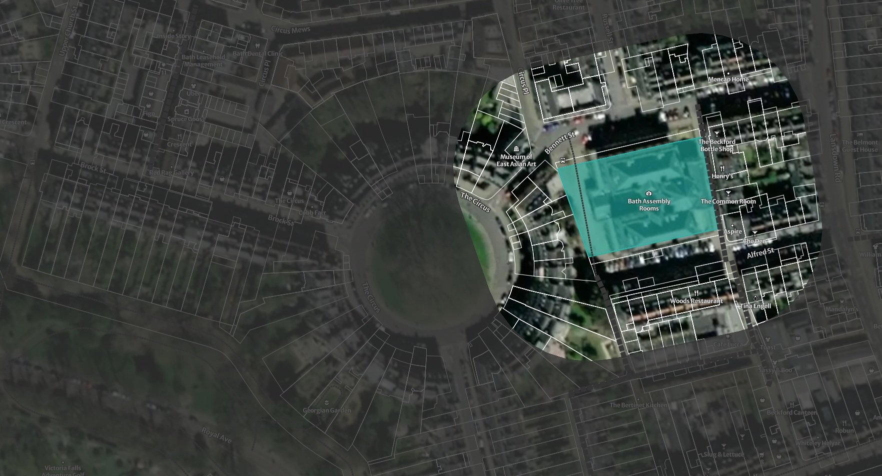
In the following example created in geojson.io, you can see two properties, 'Park' and 'LocationSE', which would be created as tags, and the Site would be named 'My Park'. Not the casing of the properties IE 'Name' not 'name'
{
  "type": "FeatureCollection",
  "features": [
    {
      "type": "Feature",
      "properties": {
        "Name": "My Park",
        "Park": "",
        "Location": "SE"
      },
      "geometry": {
        "coordinates": [
          [
            [
              -0.1498704075080184,
              51.52826287898071
            ],
            [
              -0.14848203247925085,
              51.52485665216847
            ],
            [
              -0.14594104422067744,
              51.525313003557244
            ],
            [
              -0.14594104422067744,
              51.52894735314146
            ],
            [
              -0.1498704075080184,
              51.52826287898071
            ]
          ]
        ],
        "type": "Polygon"
      }
    }
  ]
}
In the GeoJSON you may provide one or more features and each feature will be turned into a site within Landarna
The following software products allow GeoJSON export:
QGIS
ArcGIS
MapInfo Professional
Google Earth Engine
Carto
GeoServer
FME (Feature Manipulation Engine)
Mapbox Studio
GDAL (Geospatial Data Abstraction Library)
PostGIS
If your software does not support GeoJSON export, no matter—we can also accept shapefiles and convert them for you. Additionally, if you are unable to follow our properties format, don't worry, we can transform it for you.
Just send your GeoJSON or shapefile to your account manager, and we will review and cleanse the data for you. Depending on how your data was created, there may be issues we need to address during the cleansing process, in which case we will contact you.
Once we have successfully imported the data, you will be notified, and your new Sites will be available in your portfolio.